ELITE GEO
Asset Management System for Utility Companies
ELITE GEO
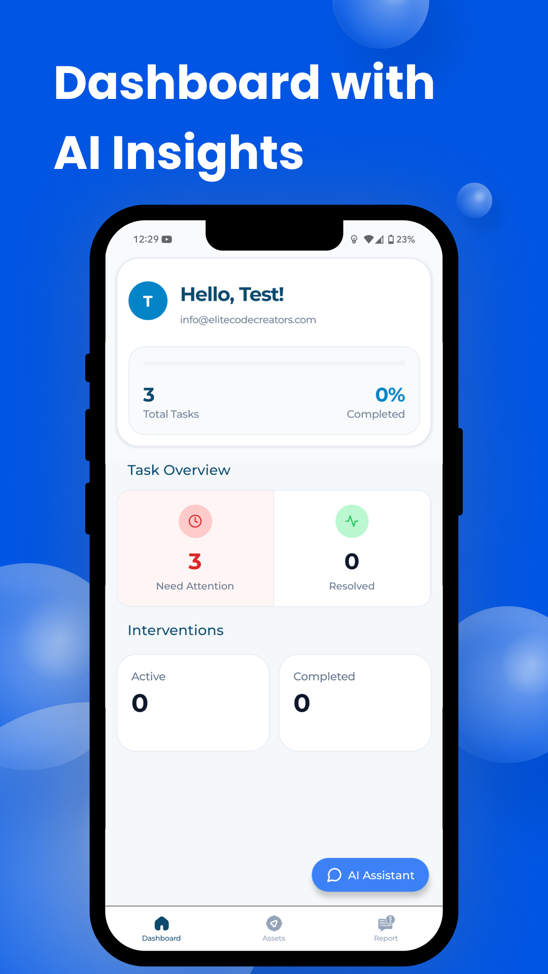
ELITE GEO is a comprehensive asset management system designed specifically for utility companies. It combines GIS mapping capabilities with advanced asset tracking to help utilities efficiently manage their infrastructure, reduce maintenance costs, and extend asset lifecycles.
Features
- GIS Integration: Map-based visualization of all utility assets
- Asset Lifecycle Management: Track assets from installation to retirement
- Maintenance Scheduling: Plan preventive maintenance to reduce downtime
- Mobile Field Access: Field workers can update asset information in real-time
- Work Order Management: Create, assign, and track completion of maintenance tasks
- Condition Monitoring: Record and analyze asset condition over time
- Reporting and Analytics: Generate insights on asset performance and maintenance costs
- Regulatory Compliance: Track compliance requirements for utility assets
Technologies Used
- Frontend: React Native with Mapbox and Leaflet for interactive maps
- AI Chat: Google Gemini API
- Backend: Laravel REST Framework
- Database: PostgreSQL with PostGIS extension
- Mobile App: React Native for field worker interface
Development Process
Building ELITE GEO required combining expertise in GIS technology with traditional asset management principles. I started by researching the specific challenges faced by utility companies in managing geographically distributed assets and worked closely with industry professionals to design an intuitive system.
One of the major challenges was designing a system that would work effectively both in the office and in the field, often in areas with limited connectivity. I implemented an offline-first approach for the mobile application, allowing field workers to continue working even when disconnected, with automatic synchronization when connectivity is restored.
